Published On May 11, 2022
GitHub link: https://github.com/kburchfiel/media_g...
Blog post: https://kburchfiel3.wordpress.com/202...
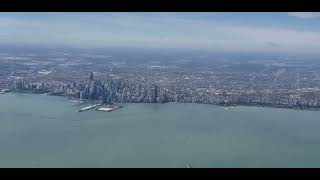
Media GeoTag Mapper is an open-source program that I recently published on GitHub. It allows you to extract geotag data (e.g. geographical coordinates) from image and video files on your computer, then create maps based on that data. In doing so, it lets you see all the places you've traveled--provided that you took a geotagged image or video clip there.
The maps created by Media GeoTag mapper are in HTML form and interactive in nature. You can pan and zoom them to get a closer look, and by hovering over markers, you can see the geographic coordinates and image creation times for each marker. In addition, clicking on a marker reveals the path to the original file. In addition, the project contains code for converting these HTML maps to both high-quality PNG and lower-sized JPG images.
This video provides an overview of some of the maps I've created using the program, and also introduces the code used to create the maps. I hope you enjoy using the code to map your own geotags!
(Note: far, I've tested out this code on Samsung, Sony, and Apple devices using a Windows computer. The code that extracts geotag data from images and videos may need to be tweaked in order to work with other devices.)