Published On Mar 21, 2019
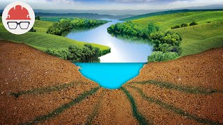
A movie highlighting the world’s largest airborne electromagnetic survey in the Northern Territory and Queensland. The new geoscience data has been collected by Geoscience Australia’s Exploring for the Future program, in partnership with the Northern Territory and Queensland geological surveys.
A total of 60,000 line kilometres of data were acquired over 2017 and 2018. Providing new insights into mineral-rich areas in Northern Australia that have not been extensively explored. This new research will enable government, the exploration industry and the research community to better understand the mineral potential of northern Australia.
ga.gov.au/eftf
show more