Published On Dec 2, 2017
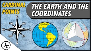
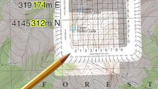
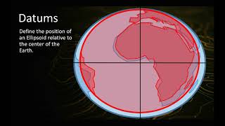
UTM is a coordinate system designed for projecting a 3D sphere (Earth) onto a 2D map, while latitude and longitude are used to locate places on Earth’s 3D surface.
This video is a basic introduction to Universal Transverse Mercator and how Eastings and Northings are used to locate features on the Earth’s surface
show more