Published On Premiered Mar 24, 2024
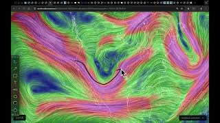
An area of interest is becoming better organised today near Agaléga in the Indian Ocean, and is expected to sweep by Madagascar and possibly affect the Mascarene islands later this week. Models are starting to pick up on its potential to become a strong storm, with the GFS now forecasting a Category 3 peak.
At the moment, rainfall is the primary concern, with massive amounts for Agaléga, Tromelin, and the northeastern coast of Madagascar with maximums exceeding 750mm. Réunion could also get swiped with more than 300mm of rain later in the week.
Landfall possibilities are still uncertain, but all of these areas should be on guard for the potential cyclone as it continues to improve.
Elsewhere, Cyclone Neville is almost gone, with convection seriously waning and decoupling from the low level circulation. The storm should be absorbed by an enormous extratropical cyclone to the south later this week.
Support us by using all of our outlets below! ↓
Become a Channel Member ► https://www.youtube.com/forcethirteen...
Become a Patron ► / forcethirteen
View our Merchandise Store ► https://teespring.com/stores/force-th...
Follow us on Facebook ► / forcethirteen
Follow us on Twitter ► / forcethirteen
Subscribe to Force Thirteen ► https://www.youtube.com/c/Forcethirte...