Published On Feb 14, 2024
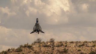
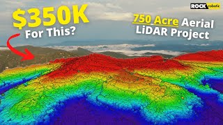
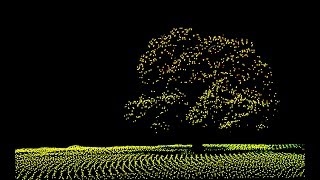
Accurately estimating fuel loads in forested areas is a key component of wildfire prevention. Our latest video showcases the power of LiDAR drone technology in handling this crucial task.
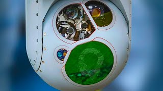
With advanced LiDAR sensors mounted on drones, we can now penetrate dense forest canopies, providing detailed 3D maps of the terrain and vegetation. This technology offers unprecedented accuracy in estimating the amount and distribution of potential wildfire fuel, enabling more effective fire management strategies.
Stay ahead in forest management and wildfire prevention. Click here for more insights and the latest in drone and LiDAR technology: https://candrone.com/blogs/news/estim...
#LiDARDrones #WildfirePrevention #ForestManagement #DroneTechnology #EnvironmentalConservation #WildfireFuelEstimation #SustainableForestry #FireManagement #ForestryInnovation #LiDARTechnology"