Published On Jan 20, 2022
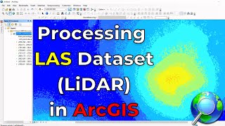
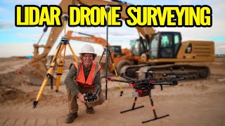
LiDAR processing has been a hot topic, so our team has created a simple workflow with our partners at GreenValley. In this 60-minute webinar replay, we go through the process of strip alignment, removing outliers, classification, accuracy assessments, and finally generating surface models from aerial LiDAR data.
What is Lidar360 4:07
Data compatibility 6:37
LiDAR strip alignement / Boresight calibration 7:45
Removing outliers in your data 16:38
Classifying ground points 18:45
LiDAR accuracy assessment 21:33
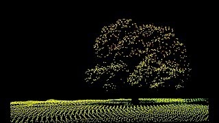
Generating surface models (DEM, DSM, Contours) 29:03
We create content based on your feedback, if you wish to receive a LiDARR360 trial key please reach out to our team at [email protected]
If you have any questions you can reach our team members at:
Dan (solutions advisor): [email protected]
Camille (data processor): [email protected]
Van (marketing manager): [email protected]
Cody (GVI: customer success): [email protected]
Be sure to follow us on LinkedIn or subscribe to our newsletter at https://www.candrone.com for upcoming webinars.
Contact us at [email protected]
Visit our website: https://www.candrone.com
Follow us on LinkedIn to stay up to date with the latest LiDAR technology: / candrone