Published On Jul 23, 2019
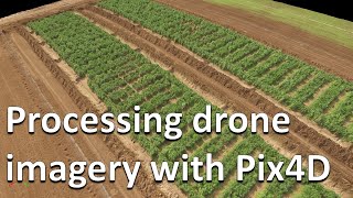
Growers are using drone imagery to monitor crop health, forecast yields, verify stand establishment, and run a myriad of other analytic reports, all at the click of a button.
PrecisionHawk offers a portfolio of multi-copter and fixed-wing drones, paired with a range of visual, multispectral, hyperspectral, and thermal sensors. They're flown by the world's leading agricultural research firms and hometown agronomists to gain an unprecedented view of crops.
To turn aerial data into insights, they use PrecisionAnalytics Agriculture--a web-based portal designed specifically for agriculture users. The platform automatically processes aerial imagery into 2D maps and 3D elevation models, produces vegetative indices, and delivers prescription maps.
Catch plant stress before it impacts yield. Fine-tune prescriptions. Use PrecisionHawk's drone-based solution for agriculture to get more out of your farm. Learn more at https://precisionhawk.com/agriculture